Our Services
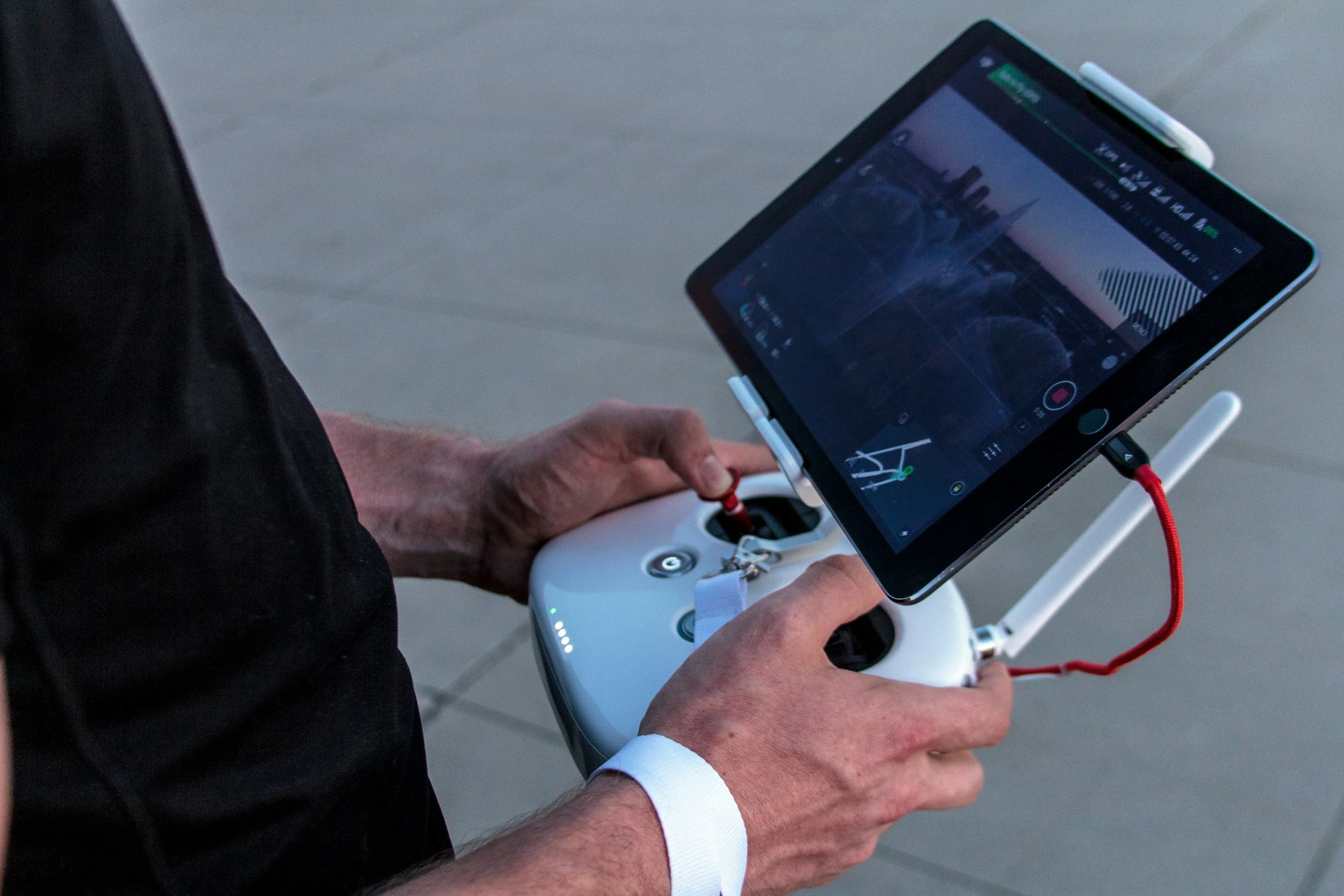
At UAV Inspections, we leverage cutting-edge drone technology to provide safe, efficient, and highly accurate inspection solutions across a wide range of industries. Our advanced aerial capabilities deliver critical data and visual insights, minimizing risk, reducing costs, and accelerating decision-making compared to traditional methods.
1. Industrial & Infrastructure Inspection
Transportation Infrastructure:
Bridge & Viaduct Inspection: Detailed structural integrity assessment of hard-to-reach areas.
Road & Railway Inspection: Monitoring of surface conditions, erosion, and surrounding terrain.
Telecommunications:
Tower & Mast Inspection: High-resolution visual and thermal analysis of antennas, cables, and structural elements.
2. Building & Construction Inspection
Roof Inspection: Comprehensive assessment of all roof types for damage, wear, leaks, and energy efficiency.
Facade & Structural Inspection: Detailed visual inspection of building exteriors, curtain walls, and challenging architectural features.
Construction Progress Monitoring: Regular aerial mapping and photography to track project timelines, material placement, and site logistics.
Pre-Purchase & Post-Damage Assessments: Rapid evaluation of properties before acquisition or after incidents like storms for insurance purposes.
3. Environmental & Agricultural Monitoring
Land Surveying & Mapping: High-precision aerial mapping, topographic surveys, and volumetric calculations for various applications.
Environmental Compliance: Monitoring of land use, waste sites, and ecological habitats.
Agricultural Crop Health: Multi-spectral imaging for early detection of crop stress, pest infestations, and irrigation issues, optimizing yield.